
Pembroke Pines ZIP Coverage
Eight documented postal areas serve parts of Pembroke Pines. The city runs east to west from Florida’s Turnpike toward U.S. 27, so each code gives useful geographic context. None should be treated as a city-boundary test. The facility column identifies only locations supported by the research; blank entries are left as unknown instead of being guessed.
| ZIP | Areas Covered | Post Office | Notes |
|---|---|---|---|
| 33023 | Far east and southeast; Pembroke Pines Elementary area | Facility not verified | Shared with Hollywood, Miramar, and Pembroke Park |
| 33024 | Eastern and northeastern areas; University Drive, Broward College, Pasadena Lakes, Westview | Pembroke Pines PO, 2350 N University Dr.; contract unit, 7972 Pines Blvd. | Crosses the Hollywood and east-city context |
| 33025 | South-central and east; Hollybrook, City Hall, Palm Cove | Facility not verified | Shared with Miramar |
| 33026 | Central Pembroke Lakes and Lakeside | Facility not verified | Planned central communities |
| 33027 | Century Village and west-central areas | Miramar PO coordination, 14900 SW 30 St. | Heavily shared with Miramar |
| 33028 | North-central and west; Walter C. Young, Flanagan, Towngate | Carrier coordination through Miramar facility | Postal and city systems cross limits |
| 33029 | Far west; Chapel Trail, West Broward, U.S. 27 | Chapel Lakes PO, 21001 Pines Blvd. | Far-west city delivery |
| 33331 | Far northwest; Southwest Regional and Silver Trail | Everglades branch, 6759 SW 196 Ave., Fort Lauderdale 33332 | Shared regional postal geography |
A possible 33082 facility at 16000 Pines Boulevard was not verified as a city-serving or box-only code, so it is not added to the eight-code list. Use the USPS ZIP Code Lookup for a particular address rather than inferring from that facility.
The official USPS form is the best first check for a mailing code.
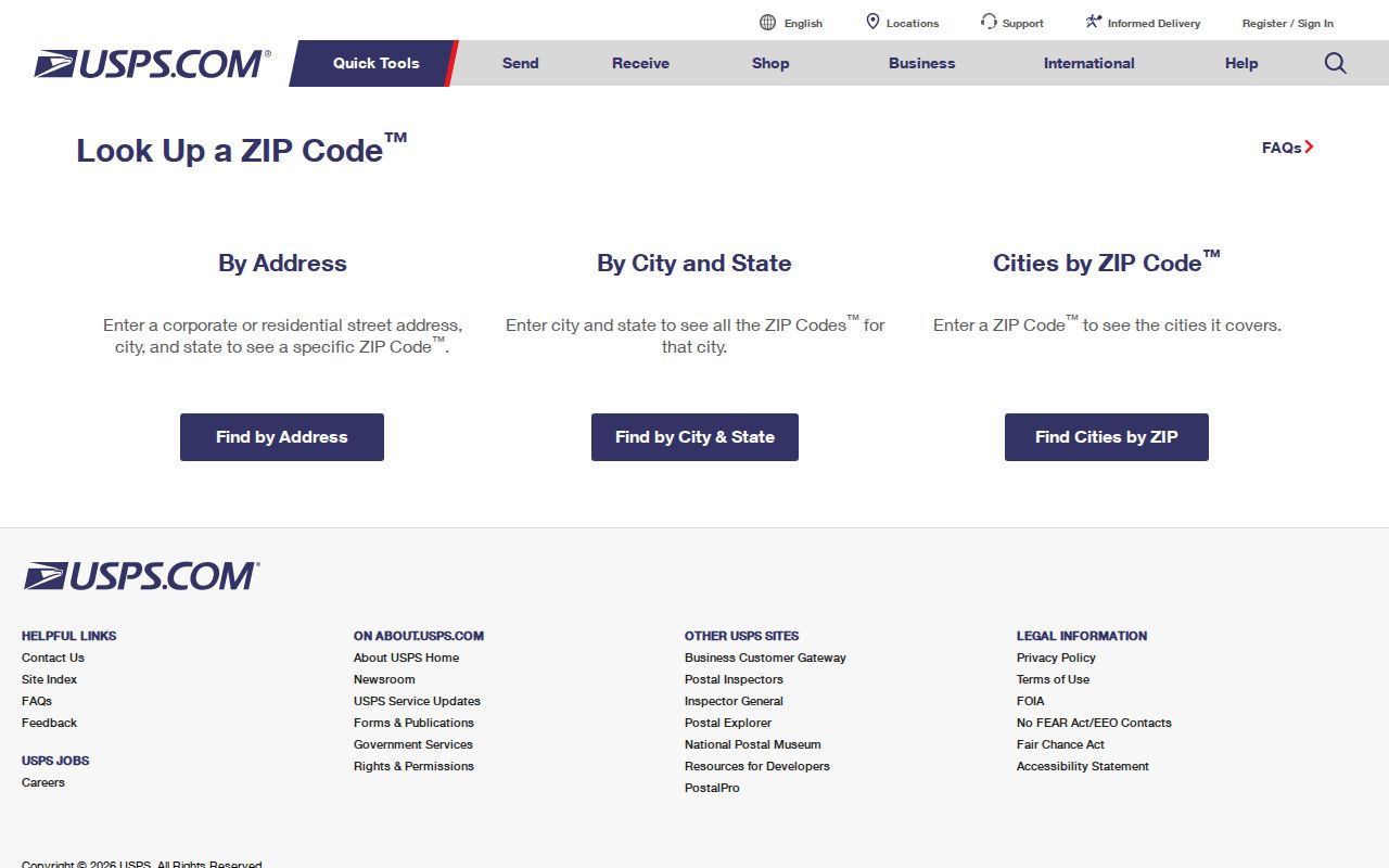
Its result answers postal routing. It does not establish that the parcel falls within Pembroke Pines municipal limits.
Central Pembroke Pines by ZIP
Codes 33025 and 33026 provide a useful central-city split. The 33025 area includes Hollybrook, City Hall, and Palm Cove, while 33026 covers Pembroke Lakes and Lakeside. Both are helpful for narrowing a broad name or address search, yet they differ in their boundary notes. The first is shared with Miramar; the second is tied to planned central communities in the research.
Pembroke Pines grew west from a mid-century core, and the record trail changes with that growth. Central planned communities can appear in a different mix of parcel, permit, telephone, and directory years than the older east or newer far west. Do not use the code alone to estimate when a home or neighborhood entered city records. Check the parcel’s year-built and legal fields, then consult the city permit era.
Note: ZIP areas organize mail delivery, while subdivisions and legal descriptions organize many land records.
Far-West Pembroke Pines Codes
The 33029 area reaches Chapel Trail, West Broward, and the U.S. 27 edge. Chapel Lakes Post Office at 21001 Pines Boulevard supplies documented facility evidence for this far-west route. The 33028 area covers Walter C. Young, Flanagan, Towngate, and nearby north-central or western sections, with carrier coordination crossing toward Miramar.
Western Pembroke Pines developed later than the eastern city. Migration after Hurricane Andrew helped speed that growth, while annexation west of U.S. 27 by 1981 created another jurisdiction-era issue. A ZIP result can narrow the likely section, but a dated parcel map, subdivision name, and city-limit layer are more reliable when reconstructing where an address belonged at a past date.
The 33029 and 33028 distinction is especially useful when two similar street names appear across a wide east-west city. Once the code and street are known, use the Pembroke Pines street directory for the address-level parcel route.
Search Pembroke Pines by ZIP
A ZIP code directory can narrow a large result set, but no researched Broward portal offers a verified one-click list of all residents in a code. The Property Appraiser map includes a ZIP layer and address, name, and parcel search modes. Parcel collection is map-based. The voter self-lookup is identity-gated and should not be mistaken for a reverse directory.
- Enter the complete address in USPS Lookup and record the standardized mailing city and code.
- Open the Broward Property Appraiser map, find the address, and compare the ZIP and City Limits layers.
- Save the folio, situs address, and legal description for the exact parcel; keep the tax-mailing address separate.
- If working with voter data, use the official request channel for an existing electronic extract and specify geography, fields, and snapshot date.
- Move from the postal area to a named street or parcel, then verify each person through a second official record.
Florida’s voter information lookup requires first name, last name, full birth date, an acknowledgment, and submission. It is meant for an individual to check a matching registration and may take one or two business days to reflect new data.
The official voter screen demonstrates those identity controls.
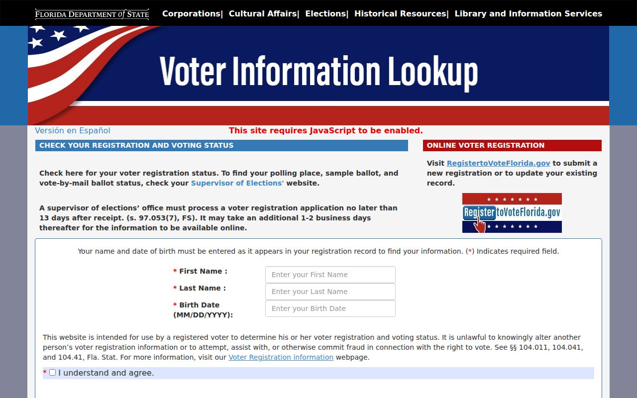
A match reports registration or voting status, not a list of households within the ZIP.
Pembroke Pines Voter ZIP Fields
The public voter extract and the self-service status screen are different products. Florida’s May 2026 extract layout includes name fields, residence and mailing address lines, city, state, ZIP, precinct, district, registration data, and voting history. Voting history identifies elections in which a person participated, never ballot choices. Confidential identifiers, signatures, registration source, and protected addresses are suppressed under Florida law.
| Channel | ZIP-Related Inputs | What It Returns | Limit |
|---|---|---|---|
| State self-lookup | Name and full birth date | Own registration match and status | Not a geographic browse |
| Public extract request | Requested ZIP, precinct, street, fields, and snapshot date | Existing public registration fields | Protected and confidential fields omitted |
| SOE counter | Focused public-record request | Registration help or releasable extract | Current form and fee were not verified |
| GIS map | Address or parcel plus ZIP layer | Mapped postal and parcel context | Does not show household composition |
The Broward Supervisor of Elections counter is at 4650 NW 21st Avenue in Fort Lauderdale, 954-357-VOTE, weekdays from 9 a.m. to 5 p.m. Pembroke Pines service points include Broward College South at 7200 Pines Boulevard and Southwest Regional Library at 16835 Sheridan Street. Ask for an existing electronic extract with precise fields and geography; do not promise a downloadable street search when the current county order form and fee were not verified.
Note: Inactive voter status does not independently prove that a person moved from a Pembroke Pines address.
Pembroke Pines Mailing and Situs ZIPs
The Broward Property Appraiser separates a parcel’s situs address from its tax-mailing address. Situs means the physical location of the parcel. The mailing field is where the owner receives tax correspondence. It may point to another city, another state, a trust, an estate representative, or a care-of recipient. That difference does not establish who occupies the home.
Use the folio and legal description to keep the parcel fixed when postal wording varies. The folio is the county parcel identifier. It is often the strongest bridge among an address, the Property Appraiser map, a city permit search, and the recorder. When a ZIP on the mailing line differs from the physical address, record both fields and their labels rather than choosing one.
- ZIP
- A five-digit USPS routing area that may cross municipal borders.
- ZIP+4
- A more precise postal code that narrows delivery to a segment, building, or group of boxes.
- PO-box ZIP
- A code used for post-office-box delivery; 33082 was not verified for inclusion here.
- Unique ZIP
- A code assigned to a single high-volume organization or institution.
- Carrier route
- A delivery path within postal geography, not a city boundary or parcel line.
Pembroke Pines ZIPs and City Limits
Address assignment in Pembroke Pines is coordinated across city, county, emergency-service, election, utility, and postal systems. City engineering address plans include lot, block, unit, building, road, legal description, ZIP, and location, then route copies to the agencies that use those facts. The systems cooperate, but they do not all divide the landscape the same way.
For a current address, verify the postal form first and the parcel jurisdiction second. For historical work, add the date. Hollywood Boulevard became Pines Boulevard inside city limits on January 1, 1974, and western annexation creates another label shift. Merely replacing an old street name with a modern one can miss a regional directory or legal index.
The Florida Department of State records-law page provides the official statutory route when a needed government-held map or record is not published online.
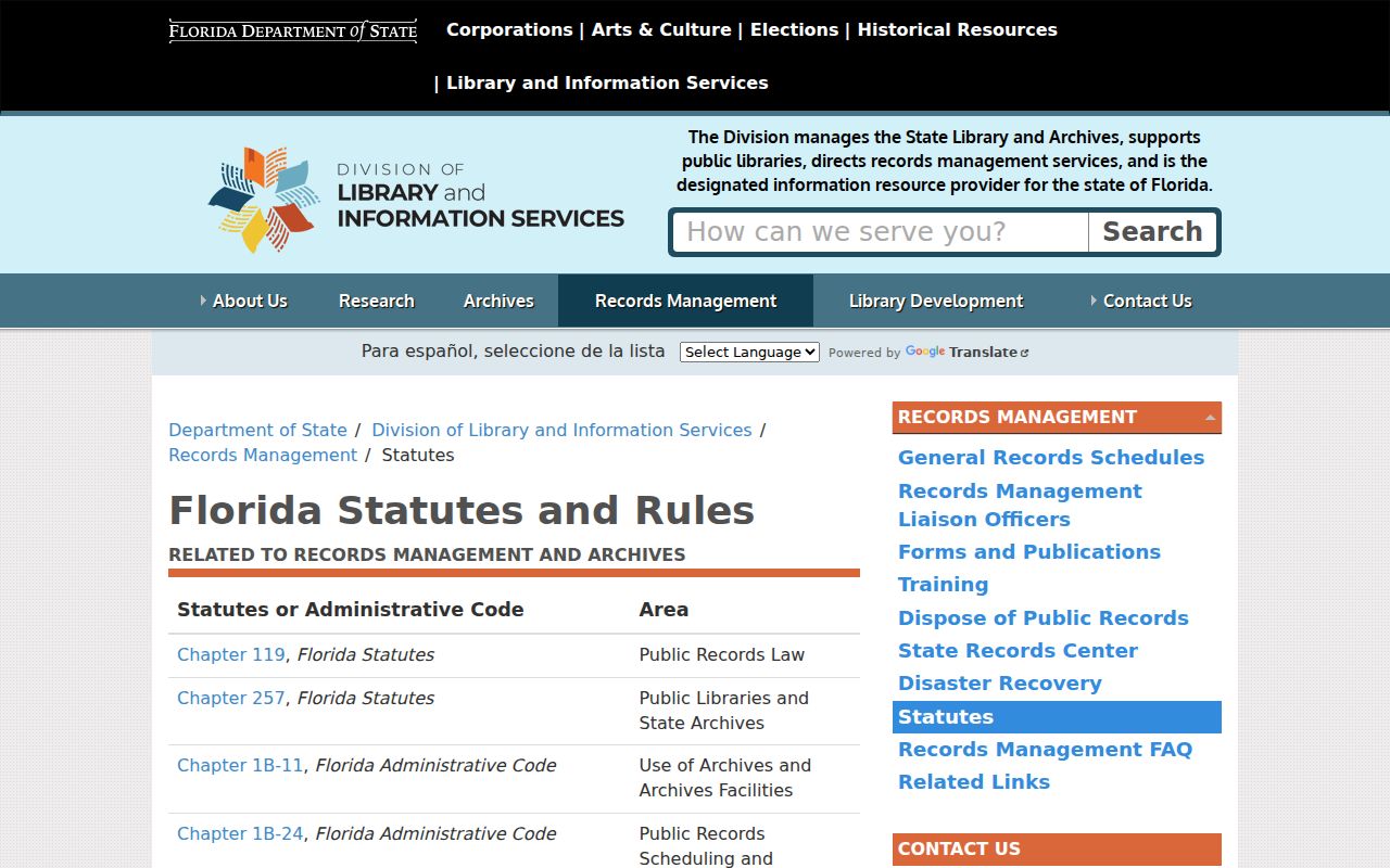
Chapter 119 access can help obtain an existing record, but it does not require an agency to create a custom ZIP-based household list.
Pembroke Pines ZIP Record Fallbacks
When an online tool fails, use the custodian that owns the record. Postal questions go to USPS. Parcel and City Limits questions go to the Broward Property Appraiser and county GIS. Voter-extract questions go to the Supervisor of Elections. City-held address plans, permits, or code records can be requested from the Pembroke Pines City Clerk by GovQA, mail, fax, email, telephone, or in person.
At the state level, the Florida Department of State public-record request channel explains how to request records held by that department and warns that email addresses supplied to government can become public records.
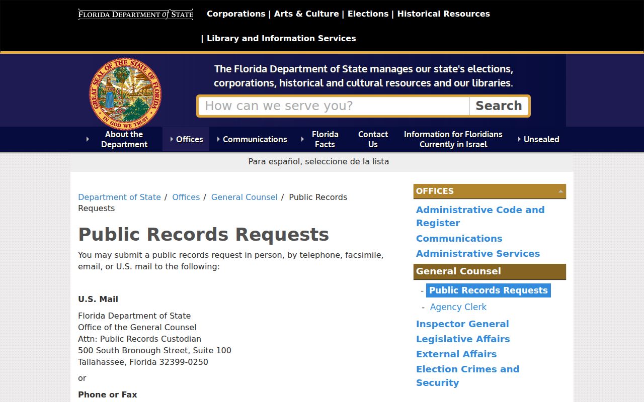
A focused request should name the existing map, layer, extract, date, area, and desired electronic format. That keeps the request tied to a real record rather than asking staff to answer a broad research question.
The Pembroke Pines Clerk allows anonymous GovQA requests. Mail, fax, phone, and in-person access remain useful when a requester does not want to supply an email address. The city can redact exempt fields while releasing the rest.